 These maps are beautiful black-line maps for your children to color and label. The world map collection contains both ancient and modern world maps. Included are labeled maps, unlabeled maps, and untitled maps. The modern maps have the national boundaries marked. There are over 130 maps included in this set!
But it doesn’t stop at maps. There are also notebook pages. This collection is beautiful (of course) and contains a wide variety of pages. There are country fact pages and the included graphics for adding a map and flag to each page, plus a wide variety of other pages like missionaries, flora and fauna, and holidays. These would be great for an Around the World geography project.

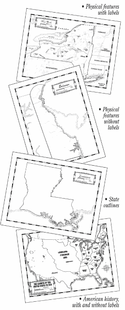
The United States map collection is equally impressive. Included are historical U.S. maps from various time periods, physical U.S. maps, political U.S. maps, and individual maps of each state. Plus there are notebook pages for each state. If you’ve been planning on making a United States notebook these would be perfect. There is a different page for each state with a small map, the state bird, and state flower graphics already included. The set also contains a file with all the state flags in color. Each page includes space for recording pertinent information like the date the state entered the union, the abbreviation, bordering states, tree, flower, motto, and more.
We are just finishing up the Middle Ages in our history studies, so I decided to have my daughter use these maps to trace Marco Polo’s travels from Venice, Italy, to China, and back. I printed 3 maps to cover the journey, but there is some overlap.
These map sets are available to download at Homeschool in the Woods for $18.95 for either the world or U.S. map set, or $28.95 for the combo-pak. They are also available on a CD for an additional $1. You can download samples at Homeschool in the Woods.

